Comment on the 10-year transportation plan now through May 9, or hold your peace. Here’s how.

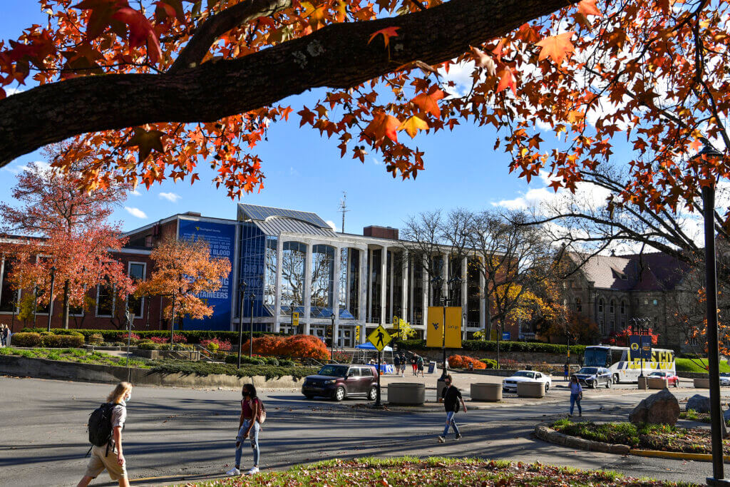
Remember that third bridge over the Mon River at Collins Ferry Road we heard so much about a few years ago? That’s off the table now. But everyone’s favorite gripe, Grumbein’s Island in front of the Mountainlair—that may finally get serious attention.
It’s all part of the comprehensive transportation plan coordinated every 10 years by the Morgantown Monongalia Metropolitan Planning Organization (MMMPO). The process reviews recent transportation studies, pulls in lots of public comment, squeezes it all through the filters of priorities and funding opportunities, and produces a rough schedule for everything from bike lanes and bus routes to walking trails and wider roads, 25 years into the future.
“We’ve taken a pretty comprehensive look at the area’s transportation needs to show the progress that we’ve made since the last big plan update in 2013,” says MMMPO Executive Director Bill Austin of the draft 2050 Metropolitan Transportation Plan.
Anyone who ever walks, bikes, navigates a wheelchair, skateboards, rides a bus, or drives in Morgantown and Monongalia County will find projects relevant to their daily life in the 100-page draft plan and the appendices. And a thorough read turns up new ideas we’ll be discussing in years to come—for example, this tidbit about Grumbein’s Island on page 66 of the appendices: “Consider multiple design treatments to improve pedestrian crossing at-grade, above grade, or convert to pedestrian-only segment.” Wait—pedestrian only? OK, don’t panic. That’s not under serious discussion yet.
What is under serious discussion is nearer-term projects and the order they happen in. You don’t have to read all 180 pages to be qualified to comment. Here’s how you can get to the heart of it quickly:
- Go straight to page 70 of the appendices, “MTP Project Recommendations by Tier”—this is a table of projects in order by proposed timing. “TIP” projects, at the top, are done deals from past planning. Look at the Tier 1 list on lines 9 through 23, projects tentatively slated for the 2020s. It includes attention to high-traffic corridors like Green Bag Road and Holland Avenue, awkward intersections like where Don Knotts Boulevard splits into Grafton and Smithtown roads, and trail connections at places like the end of Collins Ferry Road.
- Below line 23, scan the Tier 2 projects, tentatively slated for the 2030s. You’ll see more improvements to congested stretches of road, lots of sidewalks and crosswalks, Grumbein’s Island, and more.
- Keeping in mind that we’re near the end of this planning cycle—a never-yet-discussed project will have to wait for future planning—are there Tier 2 projects you feel strongly should displace something proposed as Tier 1? Or, further down in the table, is there anything in Tier 3 that you feel should take precedence over something in Tier 2?
- If this table has caught your imagination, flip through the main document. Start at page 88 to see maps by tier and look for your own traffic peeves. There’s lots more there that you may like to comment on, too.
If you agree with the priorities you see in the plan, great—this planning cycle has represented you well.
If you’d like to see things prioritized differently, or if a deeper read raises other issues for you, now is your chance to say so. Submit your comments—we encourage you to be constructive and respectful—using the “Send Us a Message” form on the MMMPO’s home page. The 45-day comment period runs through Monday, May 9, 2022.
READ MORE ARTICLES FROM MORGANTOWN LOWDOWN


Leave a Reply