Celebrate by visiting these landmarks that were already in place when the county was formed in 1776.

Imagine arriving at the place where Deckers Creek empties into the Monongahela River in late 1776. Your horse brings you along a muddy trail through dense forest to a frontier outpost on Indigenous hunting grounds. Colonel Zackquill Morgan has established a fort, and Michael Kern has created a stockade and a gristmill. Geographical names and boundaries are still fluid—in October, the state of Virginia formed Monongalia County from its District of West Augusta. The streets of Morgan’s Town won’t be laid out for another nine years, in 1785.
Like the U.S., Monongalia County is 250 years old this year. It originally encompassed the entire southern part of the Mon River watershed, extending south to the headwaters of the Cheat River at the far end of today’s Randolph County and north almost to what is now Washington, Pennsylvania.


You can easily visit several landmarks dating to those days from Morgantown. And don’t miss the Morgantown History Museum’s exhibit on the county’s 250th, opening August 7, 2026, for an immersive dive into the county’s origins.
1767: The Westernmost Mason–Dixon Marker Stone
Granted overlapping charters in the 1600s, the Penn and Calvert families hired astronomer Charles Mason and surveyor Jeremiah Dixon in 1763 to settle their border dispute once and for all. The pair set crownstones every 5 miles along the border. They intended to go 5 degrees of longitude west from the Delaware River—about 270 miles—but, in October 1767, about 23 miles short, their Iroquois guides refused to continue beyond their own lands. Mason–Dixon Historical Park west of town preserves a marker at the site.
1772: Kern’s Fort
When fighting broke out with Native Americans in the frontier settlements, families retreated to sturdily constructed blockhouses, stockades—homes or blockhouses surrounded by vertical-log perimeter walls—and larger, more easily defended forts. Amazingly, the home at the center of Michael Kern’s 1774 stockade is still standing today in Greenmont, at the corner of Arch and Dewey streets. It’s under private ownership and not open to visitors, but you can see the historical marker that was placed by the Daughters of the American Revolution in 1927.

1774: Prickett’s Fort
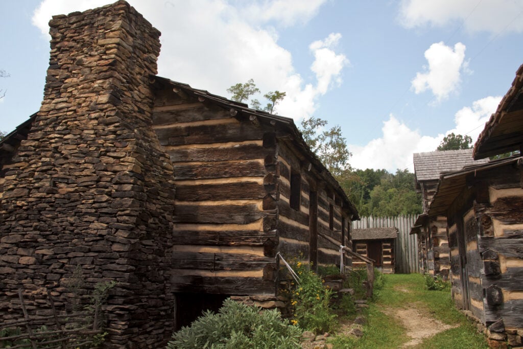
The much more substantial fort built farther south on the Mon River by Captain Jacob Prickett and community militia was big enough to shelter as many as 80 families. Rebuilt in the 1970s for the U.S. bicentennial, Prickett’s Fort holds four blockhouses, 14 cabins, a meeting house, a gun shop, and a trading post. Prickett’s Fort State Park, 20 miles south of town, is an active living history museum where you can interact with costumed interpreters and see demonstrations of heritage crafts like weaving, blacksmithing, and hearth cooking.
READ MORE ARTICLES FROM MORGANTOWN LOWDOWN